Click to download now, finish the installation quickly, and directly unlock the all-round experience
Screenshots
Click to download now, finish the installation quickly, and directly unlock the all-round experience
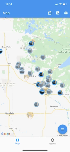
Ice Report is a map-based weather utility for people who need local ice-thickness information, especially ice anglers, outdoor users, guides and resort operators. It collects user-submitted reports and places them on a map so nearby conditions can be checked by location rather than searched across separate forums or groups.
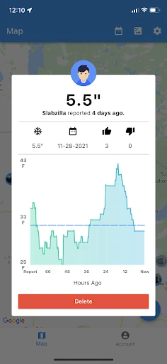
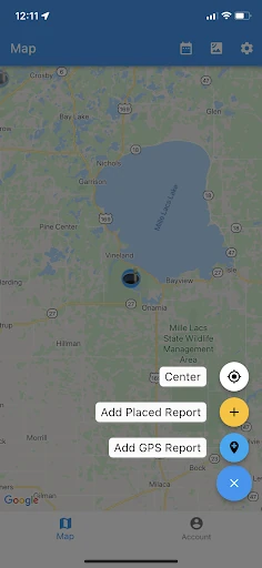
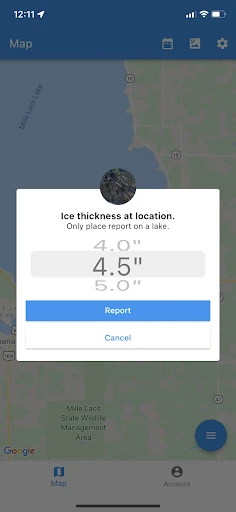
Standard users submit a report from their current GPS position and choose the observed ice thickness. This location requirement helps tie each entry to the area where it was recorded. Map markers also change appearance as reports age, making newer observations easier to distinguish from information that may no longer match current conditions.
The app is most useful for users who regularly check frozen-lake conditions and want a quick view of reports near a destination. Its value depends on the amount, freshness and accuracy of community data in a given area, so coverage may vary from one lake or region to another. Older entries should be treated as historical context rather than a current reading.
Ice Report has a 3.72 rating from 169 reviews and has been installed 50,000+ times. It is developed by Split Rock Software LLC. The focus is narrow and practical: mapping reported ice thickness and showing when those observations were made, rather than providing a broad forecast covering every weather condition.